

States are turning to lidar, machine learning, satellite imagery and other digital tools to get a better handle on landslide risks as a new round of federal grants helps geological surveys build the data infrastructure needed to map hazards and better prepare for disasters.
The U.S. Geological Survey awarded $1 million to 16 states, local and tribal governments — including Pennsylvania, Nevada, North Dakota and Alaska — this month for projects focused on landslide inventories, hazard mapping and risk reduction.
While there is no official tally for the total number of individual landslides per year in the U.S., as many small or remote slides go unreported, a new nationwide database from the University of Washington, which launched in July, shows that roughly 6.5 million Americans live in areas facing landslide risks.
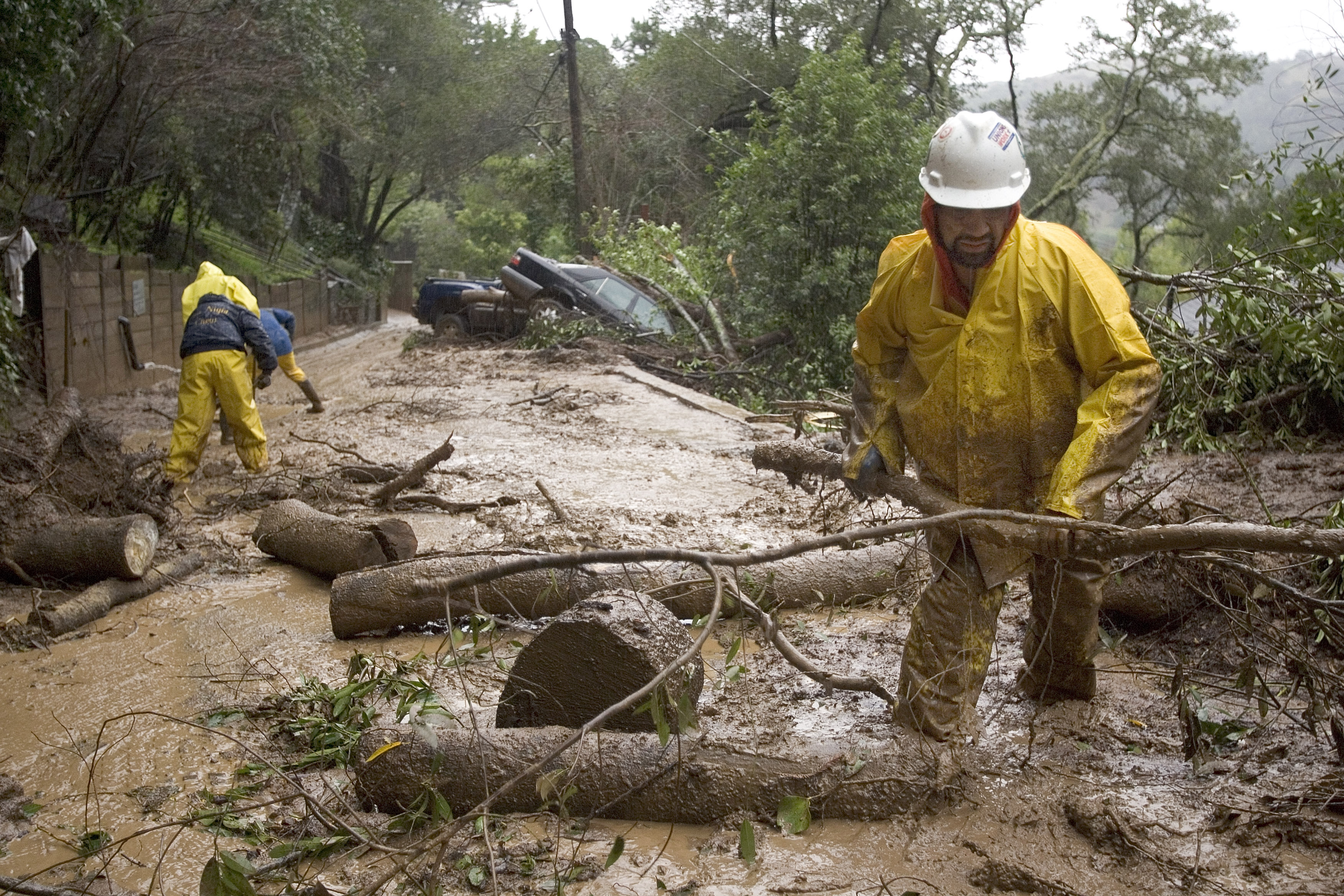
According to Stephen Slaughter, associate program coordinator for landslide hazards at USGS, there are two kinds of landslide hazards that typically threaten communities: deep landslides and shallow landslides.
“Deep landslides have a very distinct signature on the landscape; those are the ones that lidar has sort of revolutionized,” Slaughter told StateScoop. “Shallow landslides are the ones you get after a big rain event, but they’re really fast. They go faster than someone can run and those are the ones that typically are a threat to human life and safety.”
The grants come as state agencies increasingly use geospatial technology to understand natural hazards, similar to efforts tapping satellite imagery, artificial intelligence and other datasets for wildfire detection, mapping and emergency management.
For landslides, Slaughter said lidar is one of the most important pieces of that technology stack.
“Lidar was probably the biggest, most important tool that has revolutionized our ability to accurately and precisely delineate landslides,” Slaughter said.
Lidar uses lasers to create detailed measurements of the Earth’s surface, allowing scientists to see changes in terrain that can be difficult to spot with conventional aerial photographs or maps.
The data can help scientists map existing landslides and identify where shallow landslides could travel, particularly through stream channels.
In Pennsylvania, lidar technology is helping make possible a landslide database project that would have been far more difficult a generation ago.
Stephanie Evans, a senior geoscientist with the Pennsylvania Bureau of Geological Survey, is leading the effort to create the landslide database, a first for the state. She said the USGS grant will fund a two-year initiative to map landslides and create a susceptibility map for Washington County, part of the Pittsburgh region.
Historically, Evans said, the state’s landslide work relied on researchers manually examining topographic maps and aerial photographs. Now, Pennsylvania can use lidar to analyze a much larger area.
She said the state aims to model its landslide mitigation tools after California’s Geological Survey, which uses social-science research to explain landslides, post-fire debris flows, forestry, and land-use risks.
“We haven’t had the tools or the staff,” Evans said in an interview. “It just wasn’t physically possible when you only had like one or two people.”
Evans said the state plans to use its most current Washington County lidar data, collected in 2020, while a separate statewide effort updates lidar coverage, adding that having multiple generations of lidar could eventually allow scientists to compare the landscape over time and see whether known landslides have moved or changed.
She said Pennsylvania is also exploring machine learning models that could automatically identify potential landslide features in their lidar data. That approach mirrors the broader trend in emergency management of using existing data and technology to give officials a more complete picture of a disaster instead of relying on a single source.
California, for example, has been combining lidar with satellite imagery, AI-powered cameras and predictive models to monitor wildfires. The state’s Wildfire Commons is also designed to bring datasets from multiple agencies into a shared environment for analysis and planning.
The survey, Evans said, will adapt deep machine-learning models developed with the Kentucky Survey, whose landscape resembles Pennsylvania’s own.
“They have been working on creating models to identify landslide features, and everything here is very similar to Kentucky,” Evans said. “So it would be an easy model to adapt for our condition versus theirs, as opposed to if I used a model from Nevada or Oregon.”
Nevada’s landslide project is taking a similar data-integration approach.
Richard Koehler, associate director of the Nevada Bureau of Mines and Geology, said researchers plan to combine existing landslide records with wildfire data and other information to build the state’s first statewide landslide inventory. The project will also establish protocols for collecting information after landslides and make the results available through a public dashboard — similar to incident post-mortems after a major outage or disaster to identify root causes and prevent recurrence.
“We get an idea how far these things travel — the volume of material, types of geologic materials involved, steepness of slopes from the catchment areas and then in the depositional areas,” Koehler explained. “We get an idea of the strength properties of the different materials so we know which slopes are more susceptible than others.”
Koehler said Nevada researchers can also use drones to collect high-resolution imagery after an event and compare it with lidar data collected before the event to determine where material was removed or deposited. Satellite imagery can provide another layer of information, including helping researchers determine when a landslide occurred and whether it coincided with rainfall, snowmelt or other weather conditions, he said
“If you don’t have the data showing why these things are failing, then there’s no reason to take action,” Koehler explained. “From the satellite imagery, we can assess the true spatial extent and kind of prioritize where we’re gonna work.”
The data is ultimately meant to be useful beyond geological surveys.
USGS’s Slaughter said landslides are often overlooked as natural hazards — compared with more familiar disasters such as wildfires, hurricanes and floods — despite affecting many homes and communities. The gap in information or action is not due to lack of available data, he explained, but local capacity and policy because communities often lack landslide ordinances that require geological reports before construction takes place.
“It’s just sort of like this sleeping disaster that people just never really think about until it actually affects them,” Slaughter said. “It’s important for communities to know where landslides are at because they can help city officials and leaders address those hazards.
Landslide inventories, like Pennsylvania’s and Nevada’s proposed projects, can help homeowners, emergency managers and planners make decisions about where people live, how development occurs and where evacuation routes should be located.
Evans said Pennsylvania’s database will be publicly available through PA Geode, the state’s online geological information platform. Residents will be able to use it alongside the state’s existing sinkhole data to understand hazards near their homes.
“You’re never going to completely get rid of the risk, but you can lower it,” she said.
Scott McCoy, an associate professor at the University of Nevada who studies landslides and debris flows, said building that baseline data could help make the case for more resources to eventually develop its own long-term landslide monitoring program. He said this first statewide inventory, funded by the USGS grant, is intended as a starting point that can become more detailed over time.
“Until you define and quantify the hazard, it’s hard to get resources to deal with it appropriately,” McCoy said.
